ALTO DRONES
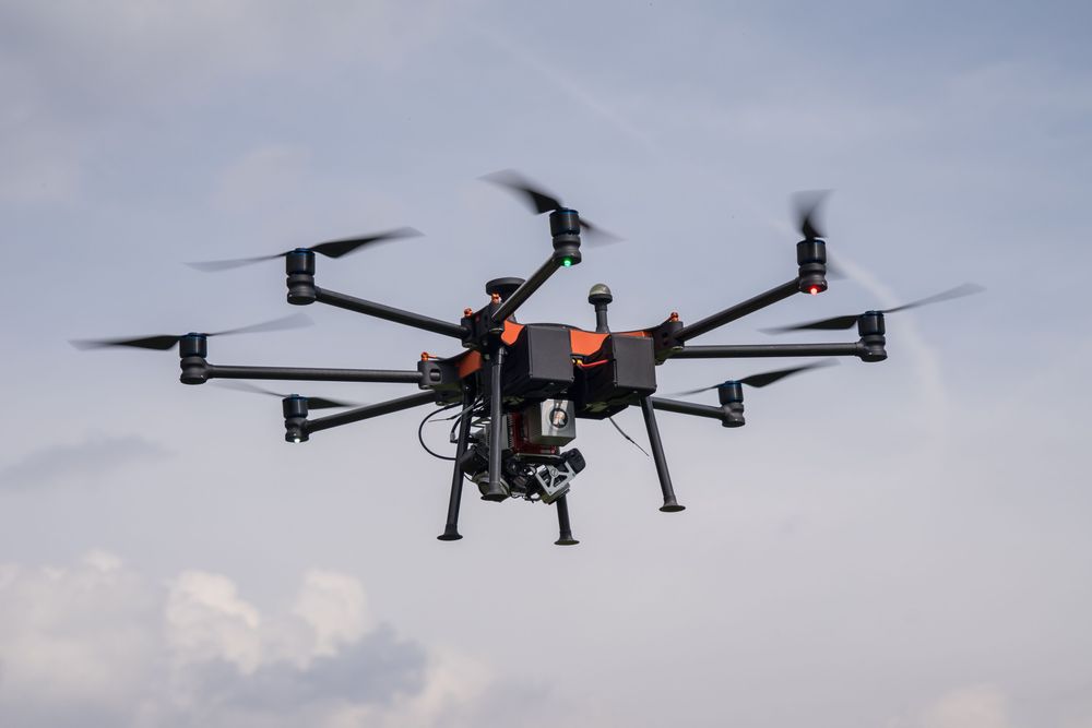
Multicopter with laser scanner
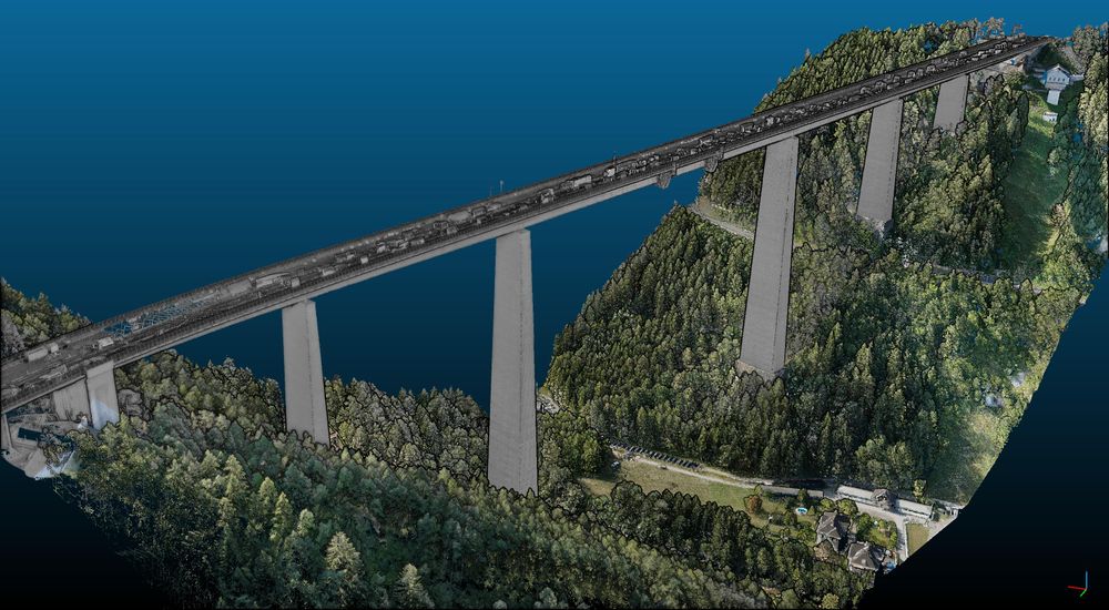
Measurement of transport infrastructures
Company
We offer professional services in the field of surveying (photogrammetry and LiDAR) and technical inspections with UAVs in South Tyrol, Austria, Italy, Germany and Denmark. We have official approval for this in Italy (ENAC), as well as in Austria (Austrocontrol), Germany (LBA) and Denmark (Trafik-, Bygge- og Boligstyrelsen). In addition to UAV flights, we offer a complete range of services from analysis of needs and terrestrial surveying to final preparation of stock surveys.
Products and services
Terrain surveying (ski area surveys, etc.), corridor surveying (overhead lines, mountain roads, etc.), roof area surveying, volume determination (quarries, wood chips, reservoirs, avalanches, mudslides, etc.), surveying of rock glaciers and much more besides.
References
Facilities at Colfosco, Obereggen, Dantercepies, Kronplatz, Golm (AT), ÖBB (AT)